|
|
|
Notes and Information
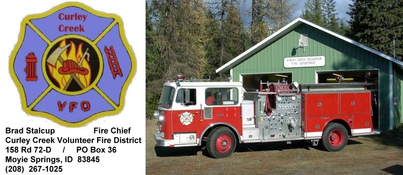
All information on this page is representative of information available at time of publication. Please verify actual content with a Curley Creek Board Member.
This page last updated on 20 December 2013.
|
|
|
Curley Creek By-Laws
By-Laws current as of 03/07/2006.
|
Membership Dues
Dues current as of 02/02/2007.
Membership Fees
Fees current as of 02/02/2007.
|
| |
District Map
The boundary lines of the Curley Creek Volunteer Fire District are:
- Kootenai River on South;
- Montana State Line on East;
- Moyie River on West;
- North Section line of Section 25, Township/Range T63N R2E on the North and extending East on the North Section lines of Sections 30, 29, 28, and 27, T63N R3E to the Montana Border.
These boundaries include some public lands belonging to the United States Forest Service (USFS) or Idaho Department of Lands (IDOL).
To download a District Map (pdf format) click on image below.  Above map provided courtesy of Boundary County Idaho GIS ~ 2009
Click on Thumbnail to see actual size (and then Ctrl-P to print, if desiring hard copy). To view map with included layers, update your version of Adobe. Link:
 Get Free Reader Get Free Reader
|
|
|